Southeast Precipitation Summary
This page contains an archive of the Multi-sensor Precipitation Estimates, MPE, from 2002 to today.
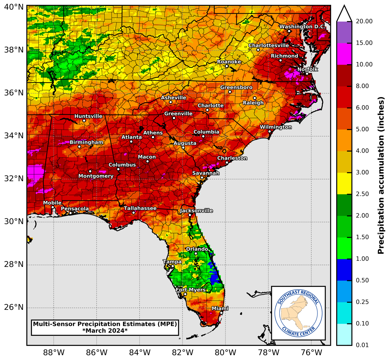
MPE, is a radar-based precipitation estimate that is calibrated to available surface gauge reports. This gridded precipitation estimate is produced by the NWS River Forecast Centers, and is generally considered the best operational precipitation estimate available. However, due to the limits of NWS radars and the surface gauge network, there can be large errors in local estimates.
Monthly Precipitation Map
Latest Map: March 2024
Select Month and Year